The Backbone Trail is a wide gravel trail that connects the Eastern Trailhead to the Western Trailhead through the heart of the Lehigh property. All of the other trails branch off from the Backbone.
Surface: Gravel
Length: About 1.2 miles
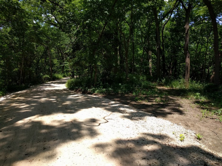
Backbone Trail Photo Tour
This photo tour runs the length of the Backbone Trail, east to west.
Looking south from the Lehigh Portland Trails Eastern Trailhead entrance gate.Turn right to follow the Backbone; continue straight to enter the South Loop (singletrack).That’s the East Loop heading off to the left.The South Loop (singletrack) exits to the left, while the Backbone continues to the right.You get a nice view overlooking the quarry lake.Take a left here to step out onto the bluffs over the quarry lake, or continue on down the Backbone.The Backbone continues to the left, while the Ridgetop Trail (singletrack) begins on the right.Hard to tell from this photo, but this is a nice downhill. Whee!Have a seat.We’ve reached the intersection with the old rail lines. The West Spur Trail heads off to the left, while the Creekside Trail (Singletrack) goes to the right, and the Backbone continues straight ahead.We get our first glimpse of the Sinclair-Hegwald Bridge up ahead.The Sinclair-Hegwald Bridge crosses a small stream. This bridge was built in 1909, and was in use on a county road until 2014, when it was moved to Iola to become part of the Lehigh Portland Trails!We’re now on the old Missouri Pacific Rail Line, paralleling Elm Creek.This old pump house was used to supply water from Elm Creek for the cement plant.Looking to the south, you’ll see the silos form the Lehigh Portland Cement Company (private property).Next is a sharp downhill to a small bridge.This bridge was constructed by volunteers, using reclaimed steel railroad rails, catwalk decking, steel pipes, and steel fencing.
Additional Information
More information about this trail at is available from: